Gilgit City
The gateway to the Karakoram — Gilgit is the bustling capital of Gilgit-Baltistan, where ancient trade routes meet dramatic mountain landscapes.
Destination Overview
Gilgit is the capital of Gilgit-Baltistan and the natural starting point for most journeys through Northern Pakistan. Sitting at around 1,500 metres where the Gilgit and Hunza rivers converge, the city has long been a meeting point of cultures, trade routes, and mountain roads.
From Gilgit, travelers branch out north to Hunza, east to Skardu, and west toward Chitral, making it the key logistics hub of the region. While Gilgit lacks the dramatic scenery of the higher valleys, it compensates with energy, history, and practical importance.
The city’s bazaar is a sensory experience of fragrant dried fruits, handmade woollen goods, and the sounds of multiple languages — a reminder that this was once a key stop on the ancient Silk Road. The Kargah Buddha, a 7th-century rock carving above a gorge about 10 km from the city centre, is one of Gilgit’s most significant historical sites.
Other worthwhile stops include the Gilgit–Hunza river confluence viewpoint and the famous suspension bridges across the Hunza River. For many visitors, Gilgit is a one or two-night stop on the way to the valleys, but those who linger discover a city with real character and a strong local culture.
Destination Highlights
Gilgit and Hunza River confluence viewpoint
7th-century Kargah Buddha rock carving
Lively Gilgit Bazaar and local markets
Gateway hub for Hunza, Skardu and Chitral
Historic suspension bridges over the Hunza River
Local Shina culture, food and dried fruit shops
Best Time to Visit
Overall Best Time
April to October is ideal for most travelers. Gilgit’s relatively low elevation compared to surrounding valleys means it stays accessible and comfortable for a longer season.
Spring (March–May)
Mild and pleasant, with cherry blossoms appearing in late March. Great for sightseeing, walking the bazaar, and cultural exploration without peak-season crowds.
Summer (June–September)
Warm in the valley (often up to 30–32°C) with generally clear skies and all roads open. This is peak travel season and the best time to use Gilgit as a base for trips to Hunza, Naltar, and beyond.
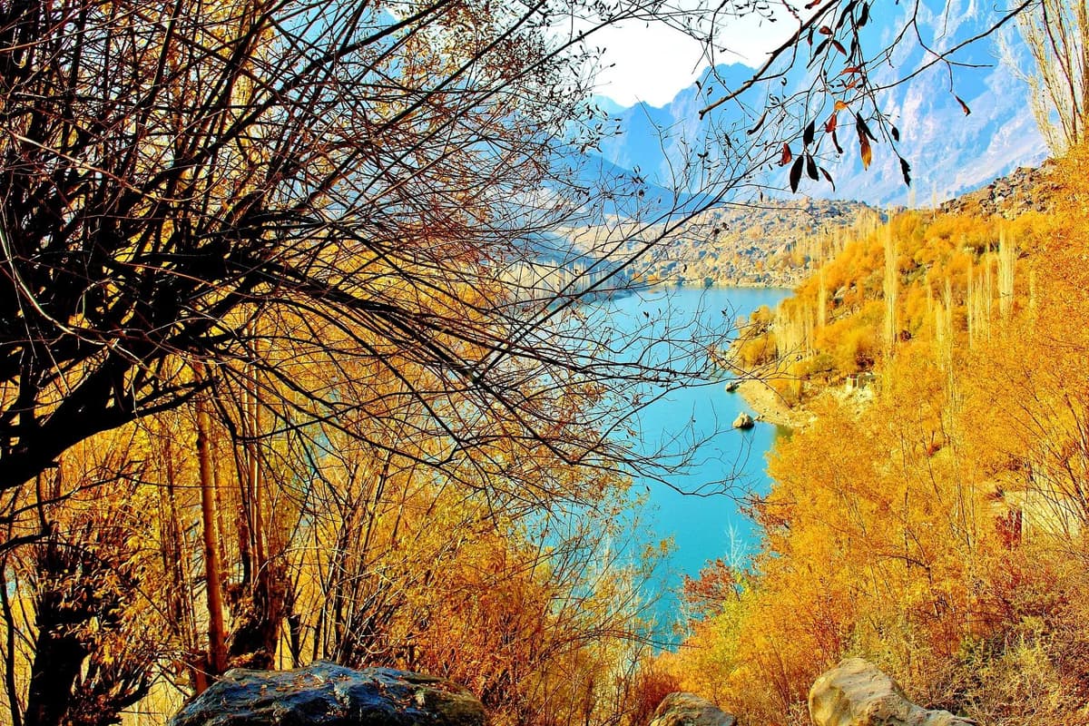
Autumn (October–November)
Cooler temperatures, quieter streets, and beautiful golden light. A good time for photography and more relaxed travel, though nights can be chilly.
Winter (December–February)
Cold, with temperatures near or below freezing at night, but the city remains open and functional. Offers a quieter, more local experience, though some high passes and side valleys may be less accessible.
How to Reach
By Air
Gilgit Airport has daily flights from Islamabad (typically PIA and Air Sial). The flight takes around 50 minutes and passes through the high peaks of the Karakoram. Because of mountain weather, flights are frequently delayed or cancelled, so always:
- Book morning flights when conditions are usually more stable.
- Keep buffer days in your itinerary.
By Road from Islamabad
Gilgit is roughly 600 km from Islamabad via the Karakoram Highway (KKH), a 14–18 hour drive depending on road conditions, traffic, and stops. The journey is spectacular and recommended for those who want to experience the full length of the KKH.
Options include:
- Private car with driver or self-drive 4x4
- Long-distance coaches and minibuses operating the Islamabad–Gilgit route
From Hunza
From Gilgit to Karimabad (Hunza) is a 2–2.5 hour drive on a mostly good section of the KKH. Shared vans, private cars, and hired jeeps are readily available.
From Other Directions
- Towards Skardu: Gilgit is the main staging point for the road to Skardu, with shared jeeps and private vehicles available.
- Towards Chitral: In season, routes west towards Ghizer and onward to Chitral can be arranged from Gilgit, usually by 4x4.
Nearby Attractions
Kargah Buddha (10km away)
A 7th-century Buddha figure carved into a rock face above a narrow gorge, one of Gilgit’s most important historical and archaeological sites.
Gilgit & Hunza River Confluence (5–8km away)
A scenic viewpoint where the Gilgit and Hunza rivers meet, offering wide valley views and a sense of the region’s geography.
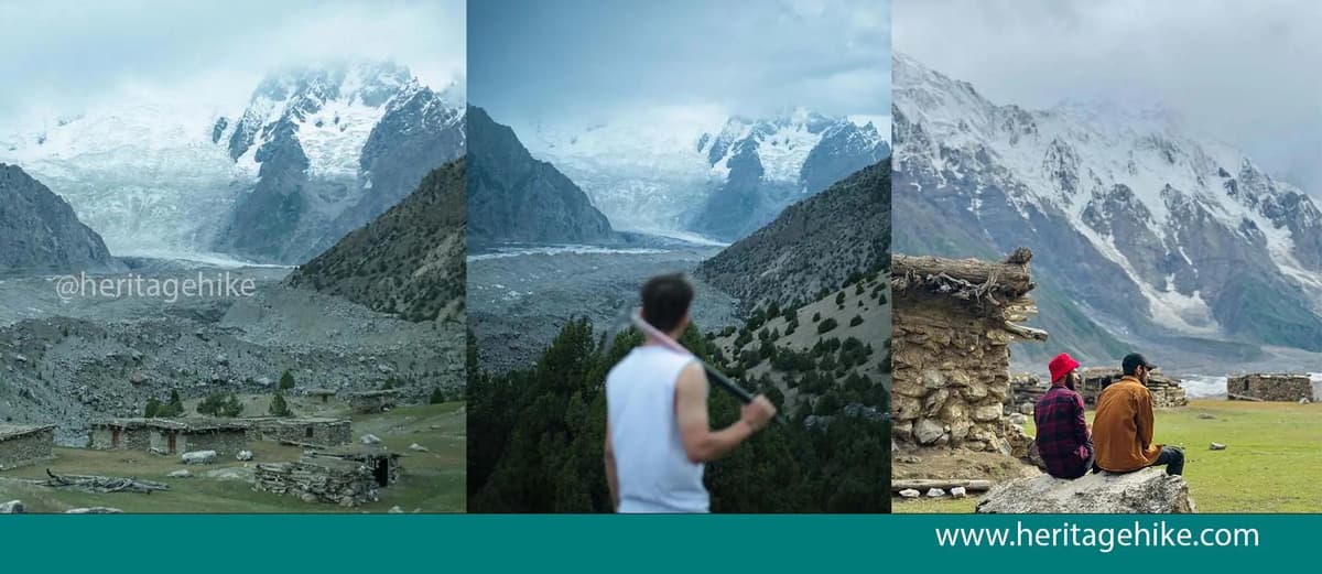
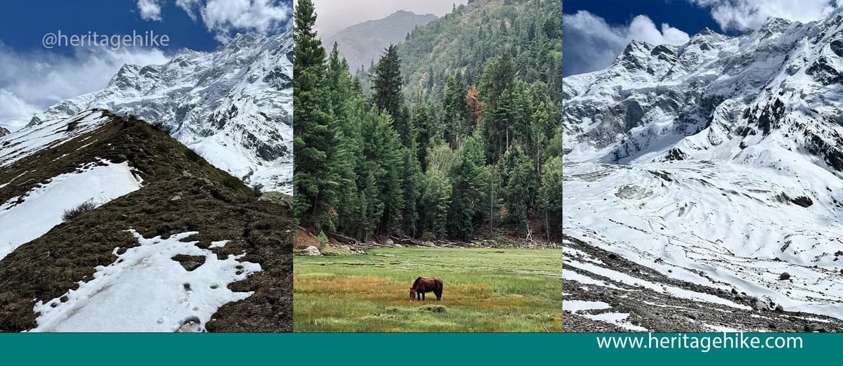
Naltar Valley (40km away)
A forested side valley known for its pine woods, ski slopes in winter, and colourful glacial lakes accessible by jeep from Gilgit.
Hunza Valley (Karimabad) (90km away)
The famous Hunza Valley lies north of Gilgit along the KKH, with historic forts, high peaks, and dramatic landscapes reachable in a few hours’ drive.
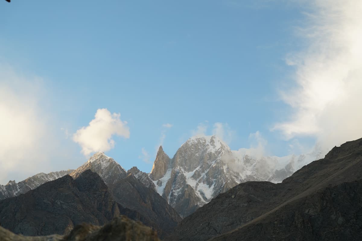
Rakaposhi Viewpoint (50–60km away)
A roadside viewpoint on the way to Hunza offering a close, towering view of Rakaposhi’s 7,788m ice-covered face.
Essential Information
Facilities & Services
Gilgit is one of the best-equipped cities in Northern Pakistan. You’ll find:
- Multiple ATMs (Habib Bank, MCB, UBL and others)
- Pharmacies and basic medical clinics
- Guesthouses and hotels from budget to comfortable mid-range
- Restaurants serving Pakistani, Hunzai, and simple international dishes
- Tour operator offices for arranging jeeps, guides, and trekking logistics
The SCOM office is in the city centre and is the most reliable place to purchase or register a local SIM card before heading into more remote valleys.
Money & Connectivity
- Cash: ATMs are available in Gilgit but become scarce further north and in side valleys. Withdraw enough cash here for onward travel.
- SIM & Internet: SCOM has the best coverage in Gilgit-Baltistan. Buy or top up your SCOM SIM in Gilgit city. Other networks may work in town but are unreliable outside.
- Power: Power cuts can occur; many hotels have backup, but keep devices charged when you can.
The main local language is Shina, though Urdu is widely spoken and basic English is understood in many hotels, restaurants, and tour offices.
Gilgit is culturally diverse, with influences from various valleys and communities. Dress modestly, ask before photographing people, and be especially respectful around religious sites and during prayer times.
Safety & Practicalities
- Gilgit is generally calm and welcoming to visitors.
- Roads can be affected by landslides, construction, or weather, especially on the KKH; allow extra travel time.
- The bazaar area is best explored on foot in the early morning when it’s cooler and less crowded.
- Use Gilgit as a logistics hub to arrange jeeps, guides, and permits for more remote areas.
Travel Tips
Withdraw sufficient cash in Gilgit before heading to remote valleys where ATMs are scarce or non-existent.
Gilgit Airport flights are highly weather-dependent; always keep buffer days and prefer morning departures.
Use Gilgit as your main logistics hub to arrange jeeps, guides, and supplies for Hunza, Skardu, Naltar, and beyond.
Explore the bazaar area on foot in the early morning for a more relaxed atmosphere and better light for photography.
Purchase or register a SCOM SIM card at the SCOM office in Gilgit city for the best regional coverage.
Keep copies of your ID and any required permits handy, as checkpoints are common on major roads.
Nights can be cool even in summer; carry a light layer if you plan to be out by the river or on rooftops.
Related Destinations
Naltar Valley
Khaplu
Karimabad
Skardu
Hunza Valley
Attabad Lake
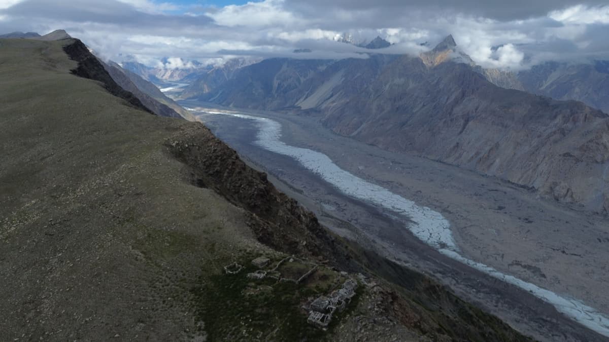
Batura Glacier and Meadows Gojal Hunza
Fairy Meadows
Satpara Lake
Baltit Fort
Roundu Valley
Kharmang Valley
Borith Lake and Ghulkin Glacier
Deosai National Park

Hushe Valley
Khunjerab Pass
Gulmit
Hopper Glacier
K2 Base Camp
Rakaposhi Base Camp
Shigar Valley
Haramosh Valley
Shigar Fort

Passu
Shimshal Valley
Altit Fort
Nanga Parbat Base Camp
Upper Kachura Lake
Quick Facts
Region
gilgit-baltistan
Elevation
1,500m
Best Season
May to October
Time Zone
PKT (UTC+5)
Tours to Gilgit City
No tours available for this destination yet.
View All ToursNeed Help Planning?
Our travel experts can help you customize the perfect trip to Gilgit City.
Contact Our Team